Create one Digital Map
15
15 per package - OK - Posted Jan 10, 2017
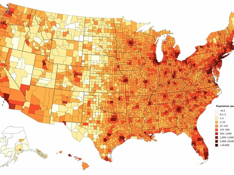
I will use GIS to create a simple digital map of your liking and return a PDF or JPG format.
I can make Maps such as:
- Political party - Location Plotting - Major Cities
- Dot Density - Demographics - Proximity
ask me about any questions that you may have I will get back to you as soon as possible.
Training & Qualifications
- Bachelors Degree in Geography
-GIS Analyst
Availability & Preferences
I'm usually free evenings Monday-Friday from about 4:00-8:00pm
Reviews of Daniel
Inactive User
Inactive User received unit of The 80's, Movies Worth Watching from Daniel
Apr 28, 2018
Daniel is an amazing person. He sent me a list of classic movies that I can't wait to watch! Grateful for everything. 😊😊
Cheryle received unit of The 80's, Movies Worth Watching from Daniel
Apr 28, 2018
Looking forward to this! Thanks Daniel!
Cosette provided unit of Resume Review for Daniel
Aug 05, 2017
Daniel was very easy to work with - would make another Simbi deal with him in the future!
Brittany received unit of Darkwave/Postpunk Music playlist from Daniel
Jun 26, 2017
Daniel is amazing!! He gave me a fantastic list of songs. Thanks so much!!!
Joshua received unit of Darkwave/Postpunk Music playlist from Daniel
Jun 04, 2017
Daniel was lightning fast and very kind.
Alyssa received unit of 10 Classic Cocktail recipes from Daniel
May 24, 2017
Quick and easy, had a great experience.
Nicholas received unit of The 80's, Movies Worth Watching from Daniel
Apr 07, 2017
Apologized for late response, and provided the list!
Jeff received unit of The 80's, Movies Worth Watching from Daniel
Mar 27, 2017
Thanks! Look forward to combing the list for anything I haven't seen!
Jason received unit of Darkwave/Postpunk Music playlist from Daniel
Mar 25, 2017
Nice work, much appreciated


